

Why you should learn to read a map
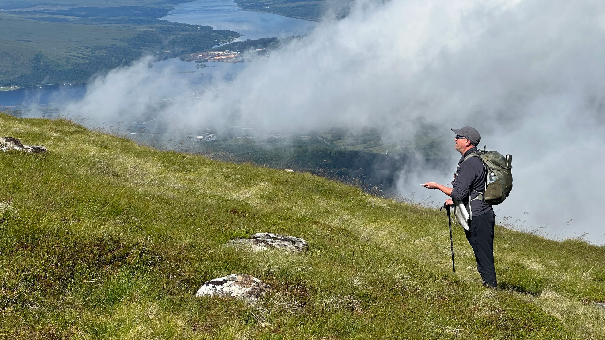
Learning how to walk on a compass bearing on a navigation course in the West Highlands of Scotland
Its not so you don’t get lost…
In our modern world the reality is that electronic navigation is pretty good.
For most people, in most situations, finding your way in the hills using your phone, smart watch or GPS device is adequate. Without ever learning to navigate using a map and compass.
Of course, caveats apply, have a back up, know how to use your equipment, make sure its reliable, it’s fully charged… Then you can probably happily fulfil a lifetime of walking ambitions without ever carrying a map.
BUT and this is a big BUT.
Navigating’ digitally massively restricts the way you can explore.
It limits you to only ever going on routes where someone has been there, done that and made the GPX file.
It means you will miss so much of the character and history of a place. Its context in the wider landscape. The opportunities it holds for you to adventure more widely and escape the beaten path.
You’ll never have the confidence to step off the line on your screen, the line worn by 1000’s of footsteps before you, and discover less frequented places.
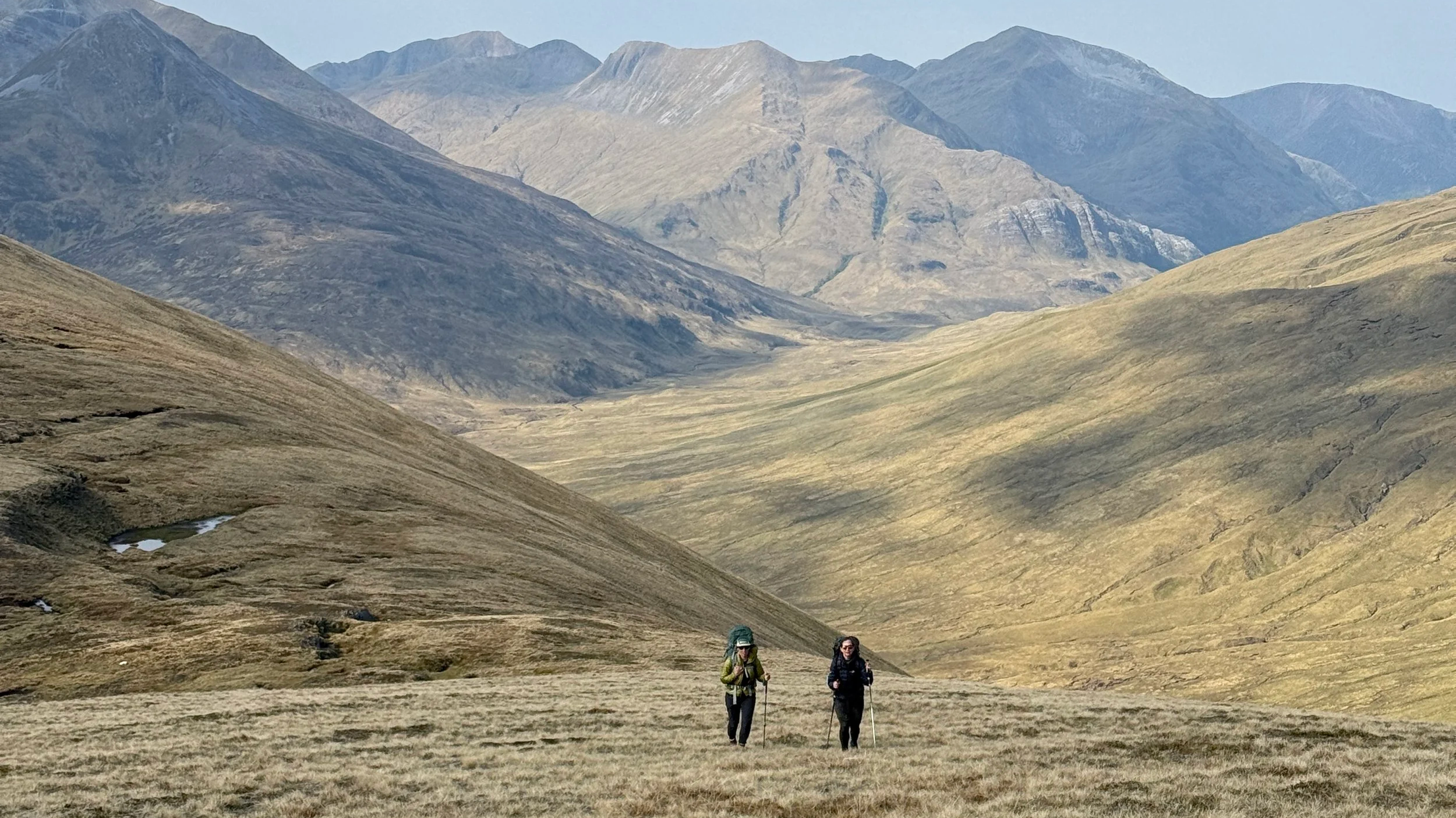
Exploring far from the beaten path in the West Highlands, You’ll not find this route on Walk Highlands!
Maps can be intimidating, overwhelming, an impenetrable amount of information.
We know this from our own experience!
But, if you spend time with them, get to know contours, how the layers of information can be deciphered. Then, slowly, you will find a way in and a whole new world of possibility will open up to you.
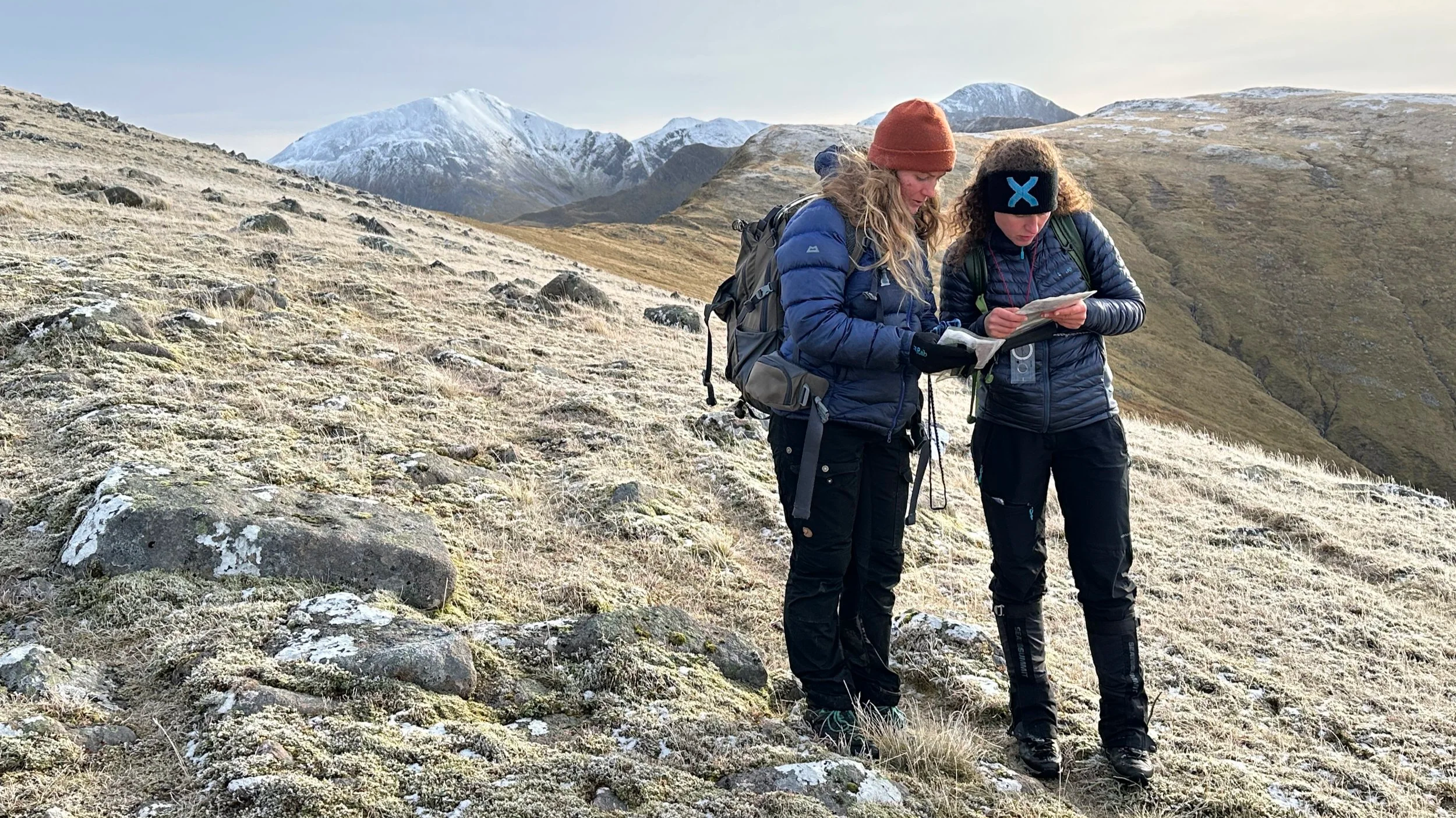
Learning how to read a map on a navigation course in Scotland
Here’s some tips for getting familiar with maps and learning to navigate:
Next time you go hiking take a paper map. Don’t worry about using it to navigate, stick to GPS if that’s your norm. But when you stop take it out, look at it and the world around you, try to match the two.
Look at your GPX files in a mapping app on a big screen so you can see your route in a wider context. Pick a few key features on the map that should be visible from your ‘line’ and try to spot them when you are out on your hike.
When you’re home look back over the route you did on a map. Try to match up features you saw, the land you crossed, with how it is represented on the map.
Join one of our Mountain Skills navigation courses, be immersed in maps & mountains and leave with a whole new understanding of how to find your way in the hills.
Comprehensive mountain skills courses accredited by Mountain Training designed to boost your skills and confidence for walking in the mountains in summer conditions.
Boost your skills and confidence for more challenging mountain adventures. Learn how to use a map & compass to navigate, plan routes off the beaten path and route find in complex, pathless terrain. Practice different techniques for moving safely and efficiently over steep, rocky ground. Discover how to improve your strength and balance and how to reduce anxiety on exposed ground. Understand how to make good, safe decisions in the mountains.
The culmination of the course is to put everything learnt into practice to explore one of Lochaber’s classic hillwalking routes such as Ben Nevis via the CMD Arete, The Ring of Steall, The Grey Corries or The Aonachs.
2026 Course Dates:
Wed 27th - Fri 29th May
Fri 21st - Sunday 23rd August
Mon 7th - Wed 9th September
Weds 7th - Fri 9th October
Fri 13th - Sun 15th November